Creation year
2015
252 record(s)
Provided by
Type of resources
Available actions
Topics
Keywords
Contact for the resource
Update frequencies
Service types
-

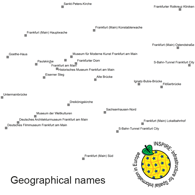
INSPIRE View Service for geographical names of municipalities or parts thereof, landscapes, mountain ranges, mountains, islands, rivers, canals, lakes, seas, etc. Data is provided for the Federal Republic of Germany. The dataset is structured according to the INSPIRE Annex I Theme - Geographical Names. The selection of the geographical names is based on the map scale 1 : 250 000 and is derived from different statistical sources, Digital Landscape Models 1 : 250 000 (DLM250) and Digital Elevation Model grid width 10 m (DGM10). This service is published under the Ordinance to Determine the Conditions for Use for the Provision of Spatial Data of the Federation (GeoNutzV) and thereof free of charge.
-

INSPIRE Direct Access Download Service for geographical names of municipalities or parts thereof, landscapes, mountain ranges, mountains, islands, rivers, canals, lakes, seas, etc. Data is provided for the Federal Republic of Germany. The dataset is structured according to the INSPIRE Annex I Theme - Geographical Names. The selection of the geographical names is based on the map scale 1:250.000 and is derived from different statistical sources, Digital Landscape Models 1:250.000 (DLM250) and Digital Elevation Model grid width 10 m (DGM10). This service is published under the Ordinance to Determine the Conditions for Use for the Provision of Spatial Data of the Federation (GeoNutzV) and thereof free of charge.
-
.png)
The WMS MSSP-EEZ (INSPIRE) represents marine seismic survey profiles for the German EEZ. During the period from 1996 to 2007 five cruises operated by BGR acquired seismic lines from the German EEZ. The aim of these cruises was a detailed survey of the geological structure of the seabed from the North Sea and Baltic Sea. According to the Data Specification on Geology (D2.8.II.4_v3.0, subtopic Geophysics) the content of the information with respect to the seismic profiles is INSPIRE-compliant. The WMS MSSP-EEZ (INSPIRE) contains for each cruise one layer, e.g. GE.seismicLine.pq2. The expeditions are displayed correspondingly to the INSPIRE portrayal rules. Via the getFeatureInfo request the user obtains the content of the INSPIRE attributes platformType und profileType. Additionally, the WMS contains a campaign layer (GE.2DSeismicSurvey) with the INSPIRE attributes campaignType and surveyType.
-

The INSPIRE-conform dataset geographical names Germany is the base for an INSPIRE-conform Web Feature Service (WFS) and Web Map Services (WMS). The dataset includes all relevant feature types from the digital landscape model scale 1:250.000 (DLM250): settlements, transportation, vegetation, hydrography, areas and regions with attributes regarding position (geometry data from DLM250), status and language of the geographical name.
-
Die vorliegenden Karten mit Punktdaten zu „Wärmeleitfähigkeiten für Erdwärmesondenanlagen“ bis 30 kW Leistung und Sondenlängen von 40 m, 60 m, 80 m oder 100 m wurden anhand der verfügbaren Bohrinformationen in der Bohrdatenbank Niedersachsen erarbeitet. Die dargestellten Werte sind abgeschätzten Wärmeleitfähigkeiten basierend auf Werten aus der VDI 4640, eigenen Messwerten und Werten des bundeseinheitlichen Produktkataloges zur wirtschaftlichen Anwendung oberflächennaher geothermischer Daten (Hrsg. Ad-Hoc AG Hydrogeologie, 2008). Auf der Karte sind durchschnittliche Wärmeleitfähigkeiten für ausgewählte Bohrungen dargestellt. Beim Anklicken einer Bohrung öffnet sich eine Info-Box mit den wichtigsten Stammdaten der Bohrung. Wärmeleitfähigkeiten einzelner Schichteinheiten können abgerufen werden, indem der Link "weitere Informationen" angeklickt wird. Für den geplanten Standort einer neuen Erdwärmesonde können die dargestellten Werte in der näheren Umgebung – vorausgesetzt der Untergrundaufbau ist vergleichbar – eine Orientierung darüber geben, mit welcher durchschnittlichen Wärmeleitfähigkeit bei einer Sondenlänge von 40 m, 60 m, 80 m oder 100 m zu rechnen ist. Die Daten dienen einer ersten Einschätzung möglicher Wärmeleitfähigkeiten und ersetzen nicht die konkrete Überprüfung im Rahmen des Anlagenbaus anhand der örtlich angetroffenen Verhältnisse. Weitere Informationen zu rechtlichen und technischen Grundlagen sind im „Leitfaden Erdwärmenutzung in Niedersachsen“ (GeoBerichte 24) zu finden.
-
rechtskräftig seit: 22.09.2015
-

3. beschleunigte Änderung des Bebauungsplans Nr. 159 A1 "Nienburger Straße / Nordwest" der Stadt Neustadt a. Rbge. im Stadtteil Neustadt
-

3. beschleunigte Änderung des Bebauungsplans Nr. 580 "Alte Wehme" der Stadt Neustadt a. Rbge. im Stadtteil Dudensen
-

Flächennutzungsplan-Änderung Nr. 35 "Nördlich Papendiek und westlich Torweg" der Stadt Neustadt a. Rbge. im Stadtteil Nöpke
-
Bebauungspläne der Stadt Aurich
 INSPIRE-1