Creation year
2017
404 record(s)
Provided by
Type of resources
Available actions
Topics
Keywords
Contact for the resource
Update frequencies
Service types
-
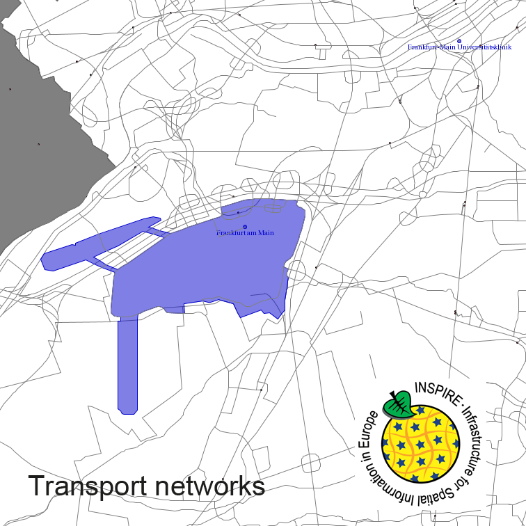
This service provides from Digital Landscape Model 1:250 000 (ATKIS DLM250) transformed datasets for the INSPIRE themes Transport Networks, Hydrography (Networks and Physical Water), Administrative Units and Protected Sites. The data provided through this service covers the area of Germany.
-
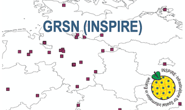
The WMS GRSN (INSPIRE) represents the seismological stations of the German Regional Seismic Network (GRSN) equipped with 3-component broadband seismometer and digital data aquisition system. The recorded data are directly transmitted to the data center at BGR in Hannover and made available to the public near realtime. According to the Data Specification on Geology (D2.8.II.4_v3.0, subtopic Geophysics) the information with respect to the seismological stations is INSPIRE-compliant. The WMS GRSN (INSPIRE) contains a layer of the seismological stations (GE.seismologicalStation) displayed correspondingly to the INSPIRE portrayal rules. Via the getFeatureInfo request the user obtains the content of the INSPIRE attributes platformType, relatedNetwork, stationType und stationRank.
-

The German Regional Seismic Network (GRSN) consists of seismological stations equipped with 3-component broadband seismometer and digital data aquisition system. The recorded data are directly transmitted to the data center at BGR Hannover and made available to the public near realtime. The GML file together with a Readme.txt file are provided in ZIP format (GRSN-INSPIRE.zip). The Readme.text file (German/English) contains detailed information on the GML file content. Data transformation was proceeded by using the INSPIRE Solution Pack for FME according to the INSPIRE requirements.
-
.png)
During the period from 1996 to 2007 five cruises operated by BGR acquired seismic lines from the German EEZ. The aim of these expeditions was a detailed survey of the geological structure of the seabed from the North Sea and Baltic Sea. The five GML files (for each cruise one) together with a Readme.txt file are provided in ZIP format (MSSP-EEZ-INSPIRE.zip). The Readme.text file (German/English) contains detailed information on the GML files content. Data transformation was proceeded by using the INSPIRE Solution Pack for FME according to the INSPIRE requirements.
-
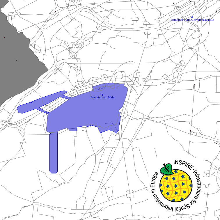
This service provides from ATKIS DLM250 transformed datasets for the INSPIRE themes Transport Networks, Hydrography (Networks and Physical Water), Administrative Units and Protected Sites. The data provided through this service covers the area of Germany.
-
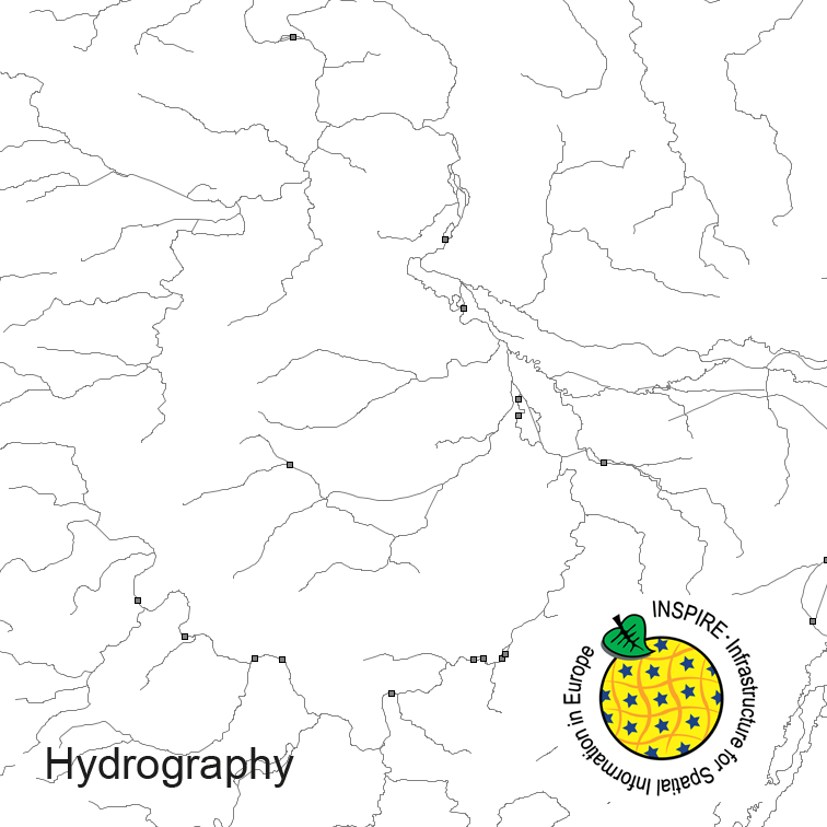
Hydrography of Germany, derived from the german digital landscape model at scale 1:250000. Mapped via EuroRegionalMap to satisfy INSPIRE and European Location Framework conformance. The dataset contains the hydrographic network and physical waters and is available as Open Data.
-

Transport Networks of Germany, derived from the german digital landscape model at scale 1:250000. Mapped via EuroRegionalMap to satisfy INSPIRE and European Location Framework conformance. The dataset contains the road, railway, water and air network and is available as Open Data.
-
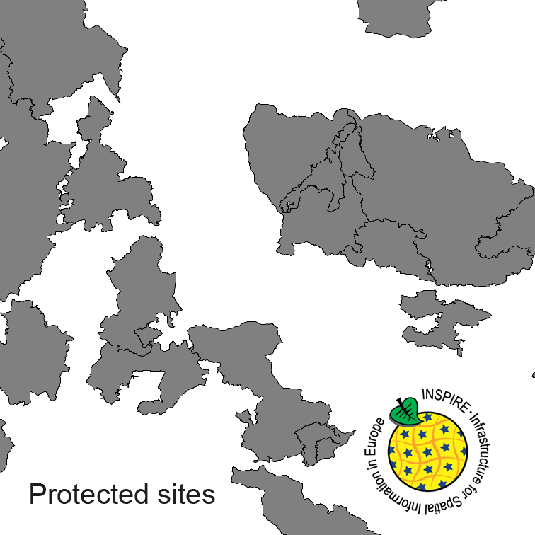
Protected Sites of Germany, derived from the german digital landscape model at scale 1:250000. Mapped via EuroRegionalMap to satisfy INSPIRE and European Location Framework conformance. The dataset is available as Open Data.
-
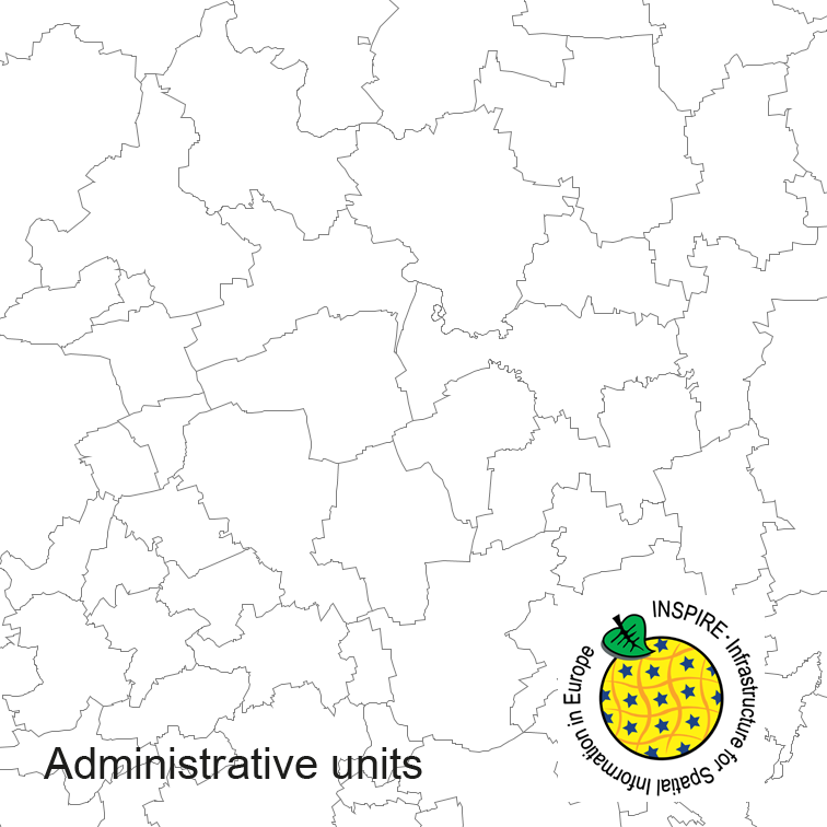
Administrative units of Germany, derived from the german digital landscape model at scale 1:250000. Mapped via EuroBoundaryMap to satisfy INSPIRE and European Location Framework conformance. The dataset is available as Open Data.
-

1. beschleunigte Änderung des Bebauungsplans Nr. 507 "Hagener Straße" der Stadt Neustadt a. Rbge. im Stadtteil Hagen
 INSPIRE-1