Creation year
2019
618 record(s)
Provided by
Type of resources
Available actions
Topics
Keywords
Contact for the resource
Update frequencies
Service types
-

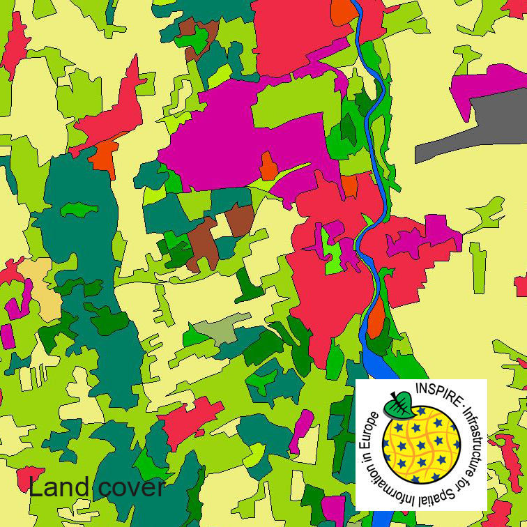
This dataset clc5 (2018) describes the landscape according to the CORINE Land Cover (CLC) nomenclature. These classes contain mainly information about landcover mixed with some aspects of landuse. CLC5 is based on the more detailed German landcover model from 2018 (LBM-DE2018) which uses separate classes for landcover and landuse and attribute-information about percentage of vegetation and sealing. The mimimum unit for an object is 1 ha. For the CLC5 dataset landcover and landuse classes are combined to unique CLC-classes taking into account the percentage of vegetation and sealing , followed by a generalisation process.
-

This dataset clc5 (2012) describes the landscape according to the CORINE Land Cover (CLC) nomenclature. These classes contain mainly information about landcover mixed with some aspects of landuse. CLC5 is based on the more detailed German landcover model from 2012 (LBM-DE2012) which uses separate classes for landcover and landuse and attribute-information about percentage of vegetation and sealing. The mimimum unit for an object is 1 ha. For the CLC5 dataset landcover and landuse classes are combined to unique CLC-classes taking into account the percentage of vegetation and sealing , followed by a generalisation process.
-

This dataset clc5 (2015) describes the landscape according to the CORINE Land Cover (CLC) nomenclature. These classes contain mainly information about landcover mixed with some aspects of landuse. CLC5 is based on the more detailed German landcover model from 2015 (LBM-DE2015) which uses separate classes for landcover and landuse and attribute-information about percentage of vegetation and sealing. The mimimum unit for an object is 1 ha. For the CLC5 dataset landcover and landuse classes are combined to unique CLC-classes taking into account the percentage of vegetation and sealing , followed by a generalisation process.
-

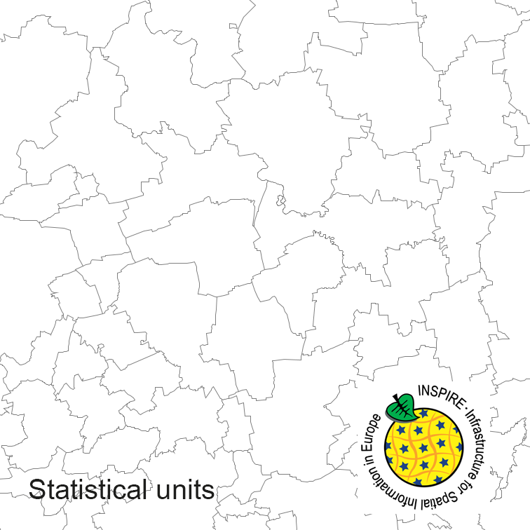
Statistical units of Germany, derived from the german digital landscape model at scale 1:250000. Mapped via EuroBoundaryMap to satisfy INSPIRE conformance. The dataset is available as Open Data.
-

Darstellung der Mächtigkeit der obersten stark bis mittel wasserdurchlässigen Schicht von der Oberfläche bis zu einer Tiefe von 5,0 m unter Geländeoberkante (GOK). Die Karte dient als Informationshilfe für Maßnahmen zur Versickerung und entbindet nicht von der Pflicht für einzelne Projekte die hydraulischen Standortvoraussetzungen für Versickerungsanlagen durch Sondierung oder Bohrungen vor Ort nachzuweisen.
-
Druckwasserflächen im Stadtgebiet Trier bei Hochwasser - Auszug aus dem Örtlichen Hochwasserschutzkonzept Trier, Entwicklung der Überflutungsflächen in 10 cm-Schritten - Kartenserie der Wasserstände 9.00m bis 12.70m am Pegel Trier - (Stand: 12/2019)
-

Trinkwasserschutzgebiete in der Hochwassergefahrenkarte (HWGK) für Hochwasser mit niedriger Wahrscheinlichkeit, Stand 01.12.2019.
-
Flächen mit Handlungsbedarf aufgrund der sich aus den Spielraumplänen ergebenden Lücken . Die Daten sind Bestandteil der Spielraumpläne von Trier.
-

Flächiges Kulturobjekt in der Hochwassergefahrenkarte (HWGK) für Hochwasser mit hoher Wahrscheinlichkeit, Stand 01.12.2019.
-
Dieser Dienst stellt für das INSPIRE-Thema Verwaltungseinheiten die aus dem ATKIS Basis-DLM abgeleiteten Daten im INSPIRE-Datenmodell bereit. Derzeit steht der Downloaddienst nur als Beta-Version zur Verfügung.
 INSPIRE-1